
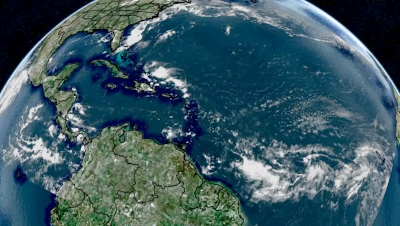
An overview of what's going on in the tropics....
over the Eastern Caribbean. Westerly wind shear will be quite strong over the next several days but a turn in the forward movement to the north then N/NE may help mitigate some of the shear. Furthermore...the shear should weaken by mid to late week. Franklin will turn rather sharply to the north late Mon./early Tue. moving over or at least very near Hispaniola Tue./Wed. where a tropical storm WATCH has been issued.
A Tropical Storm WATCH: * Haiti entire south coast from Anse d’Hainault eastward to the Dominican Republic border....* Dominican Republic entire south coast from Haiti border eastward to Isla Saona.. Conditions - dry air & wind shear - are not particularly favorable so only modest strengthening, if any at all is expected. #6 will turn more northward with time & stays east of the Windward Islands & Puerto Rico while dissipating rather soon.
A tropical storm WARNING continues from the California/Mexico border to Point Mugu, Catalina Island. Special & extra weather balloon launches will take place through the weekend.
Malaysia Latest News, Malaysia Headlines
Similar News:You can also read news stories similar to this one that we have collected from other news sources.
 Talking the Tropics With Mike: T.S. WARNING for S. California...several Atlantic tropical wavesAn overview of what's going on in the tropics....
Read more »
 Talking the Tropics With Mike: T.D. #6 forms east of the Caribbean...T.S. WARNING for S. CaliforniaAn overview of what's going on in the tropics....
Read more »
 Talking the Tropics With Mike: Hilary headed for S. California... Emily forms over Eastern AtlanticAn overview of what's going on in the tropics....
Read more »
 The tropics are beginning to wake upAfter a big lull for much of late July and August, it appears the tropics will likely become more active.
Read more »
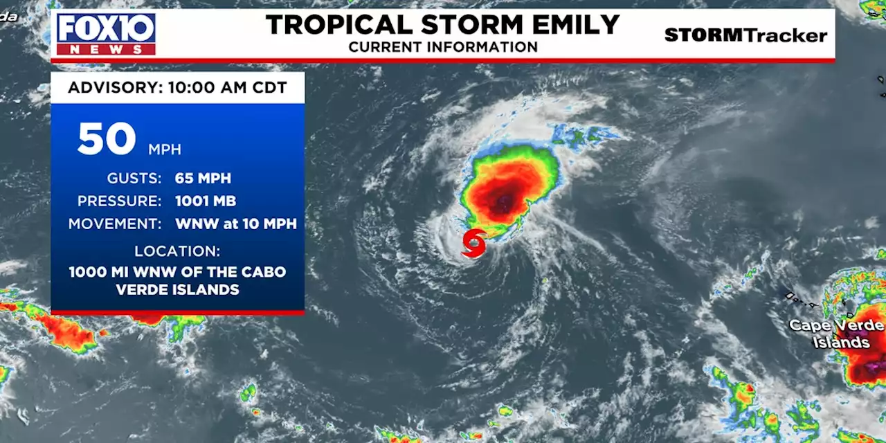 Tropical storm Emily forms far out in the Atlantic OceanThe tropics are heating up in the Atlantic Basin this hurricane season.
Read more »